Blog

Lake Allatoona Waterfall, Georgia

A couple weekends back, Daniel and I kayaked to the Lake Allatoona waterfall. I made a post about this on the The Outbound, but haven’t had a chance to put it up here.

It is a pretty easy paddle over to the base of the waterfall. We set up our hammocks and hung out for a bit. Lots of people kayaked or brought jet skis back into the cove throughout the day. I bet the place is packed in the summer!


Gregory Bald, Smoky Mountains, NC

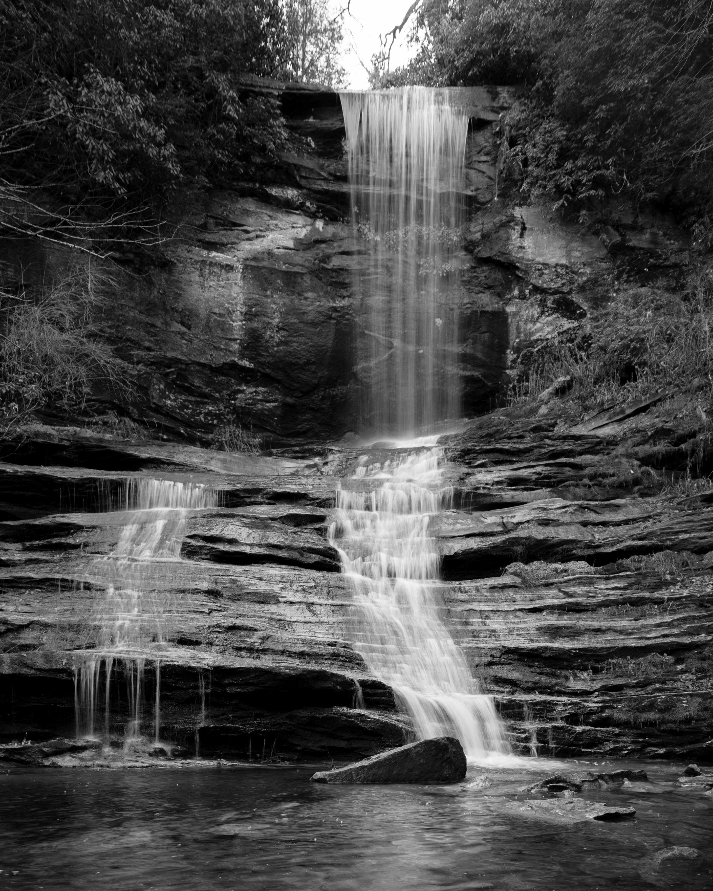
We drove from Atlanta to the Smoky Mountains Friday evening. We parked our cars at the Twentymile Trailhead and hiked to campsite 93. We had to use our headlamps as it was well past 9 pm when we started hiking.

From campsite 93, we took the Twentymile Trail to the Shuckstack Fire Tower. I will warn you – this is mostly uphill so be prepared!

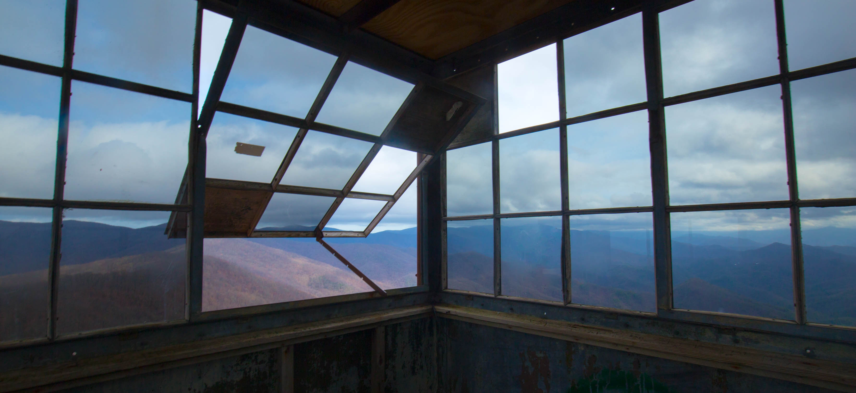
The floor inside the tower was not in the best condition and was a bit scary to walk on.

IMG_2422

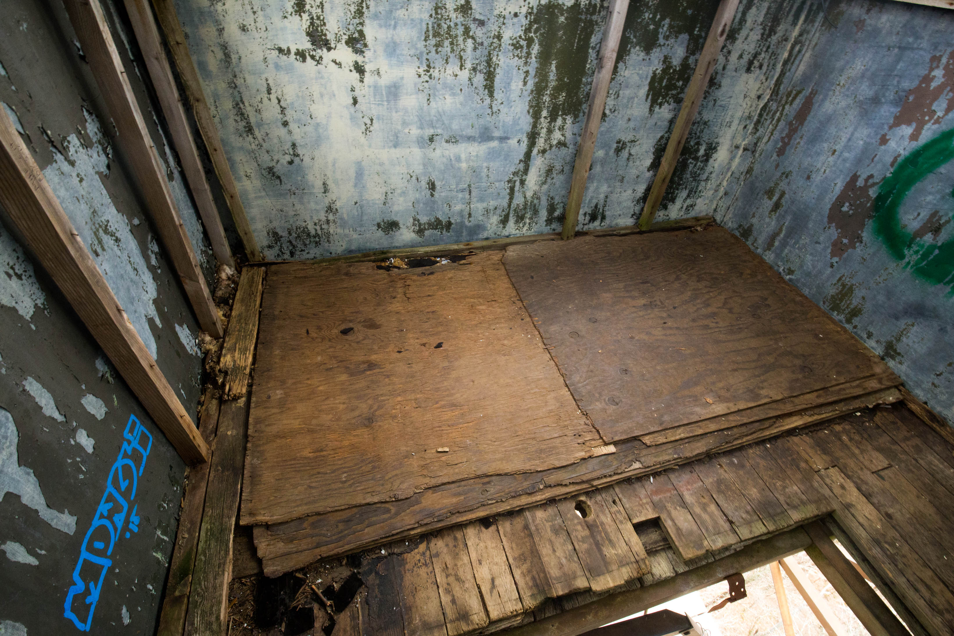
I stayed on the stairs but still managed to grab one or two good photos. IMG_2421

IMG_2419

IMG_2402-Pano

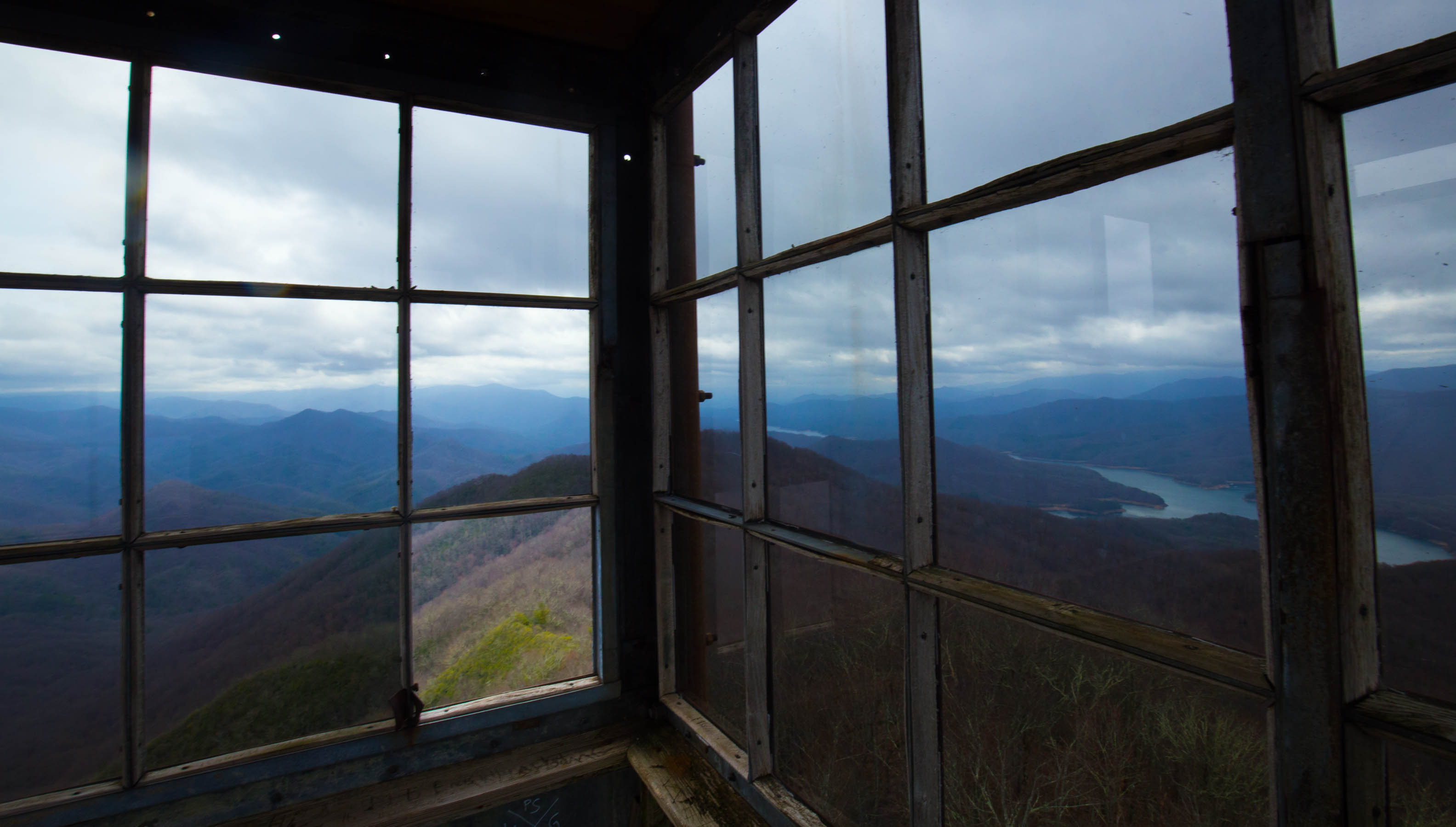
From Shuckstack, we hiked north on the Appalachian Trail. We ran into a lot of north bound hikers just starting their journey. IMG_2443

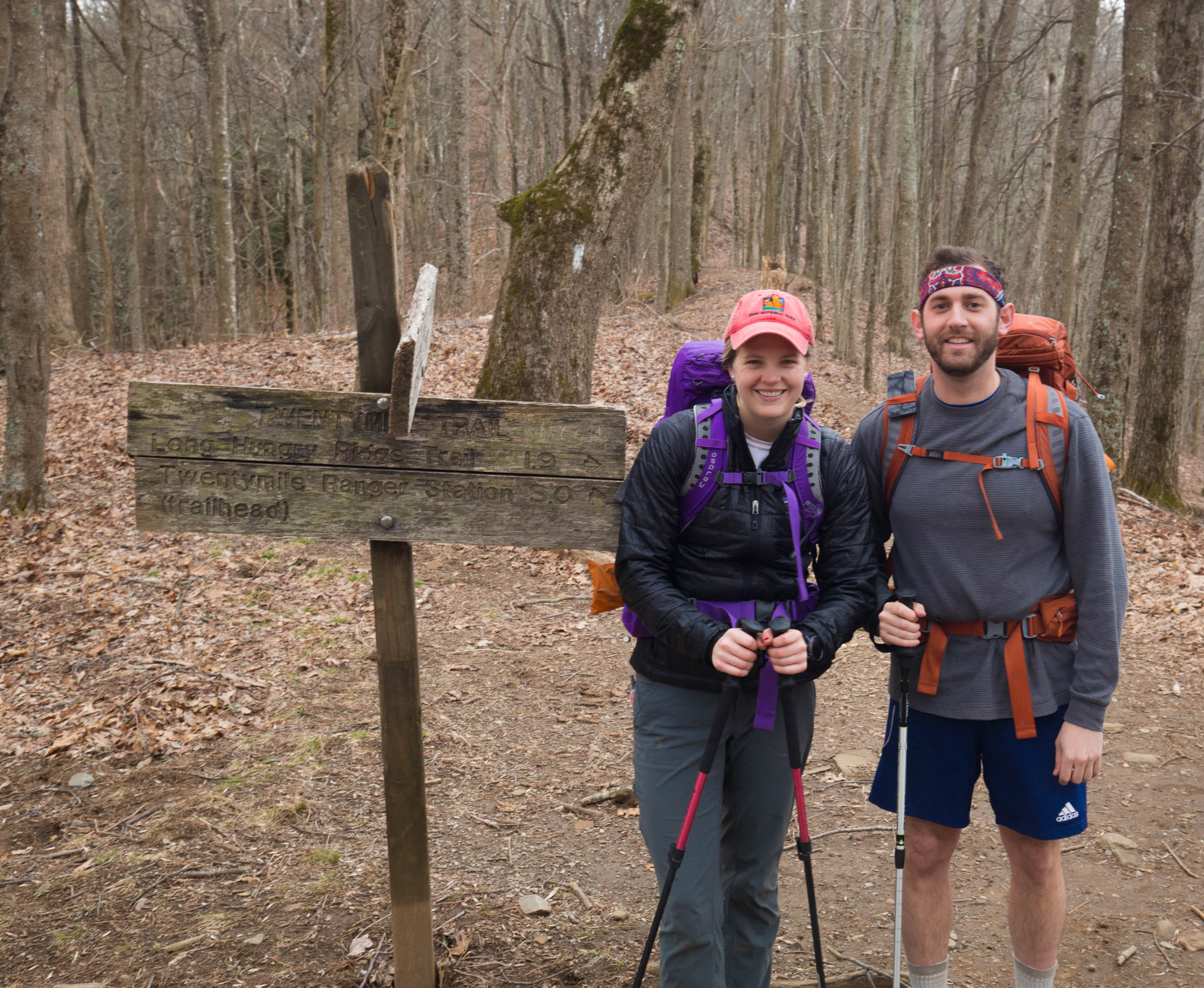
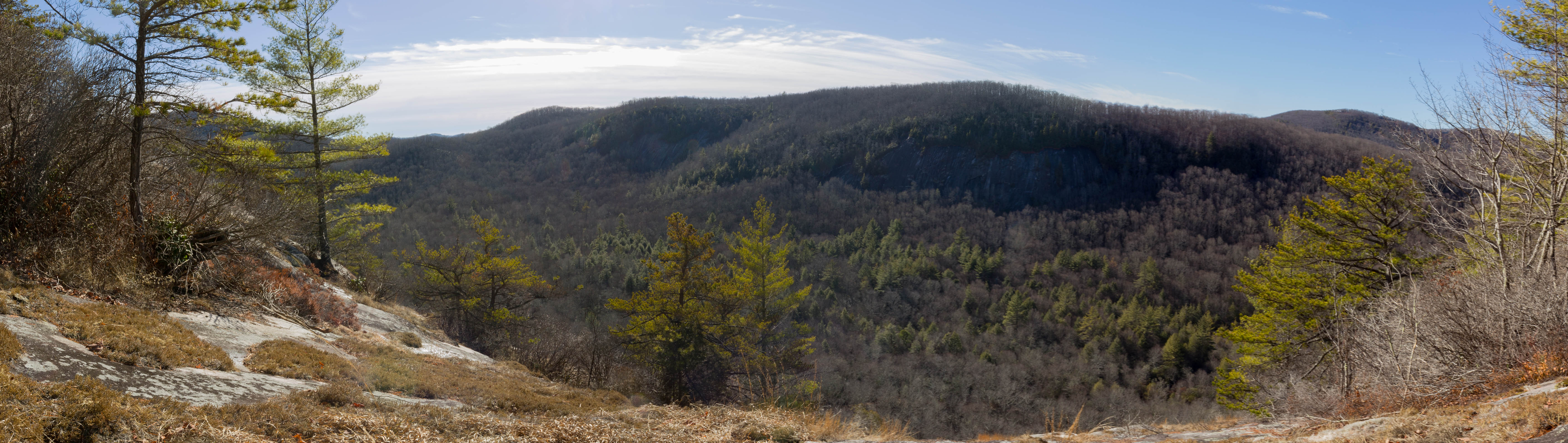
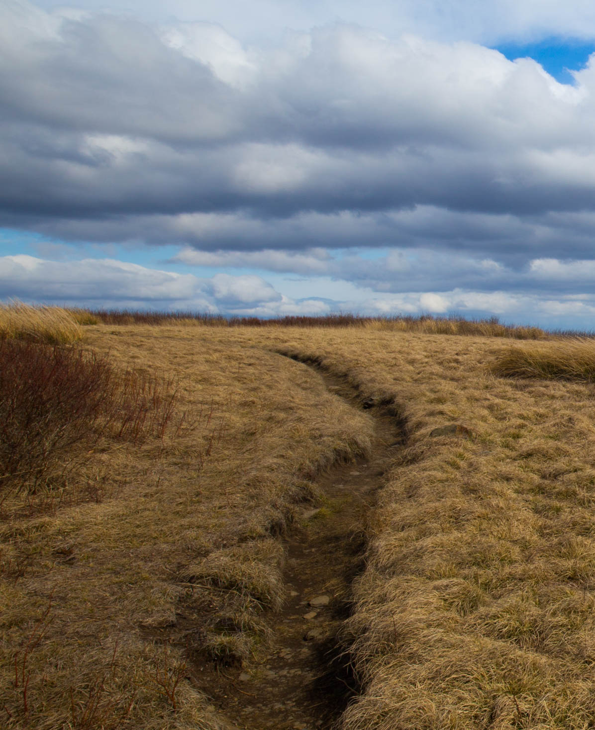
We finally reached the summit of Gregory Bald late in the afternoon. It was pretty brown at the summit. I have heard it is gorgeous in May/June when all of the Azaleas start blooming. Guess we will have to come back then 🙂

IMG_2494

IMG_2495

Saturday night we camped at campsite 13. There were two other groups. We all setup in our own corner and kept to ourselves. The next morning, we woke to find ourselves surrounded by fog. It drizzled a little through the nice, but not too bad.

IMG_2499

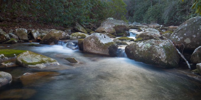
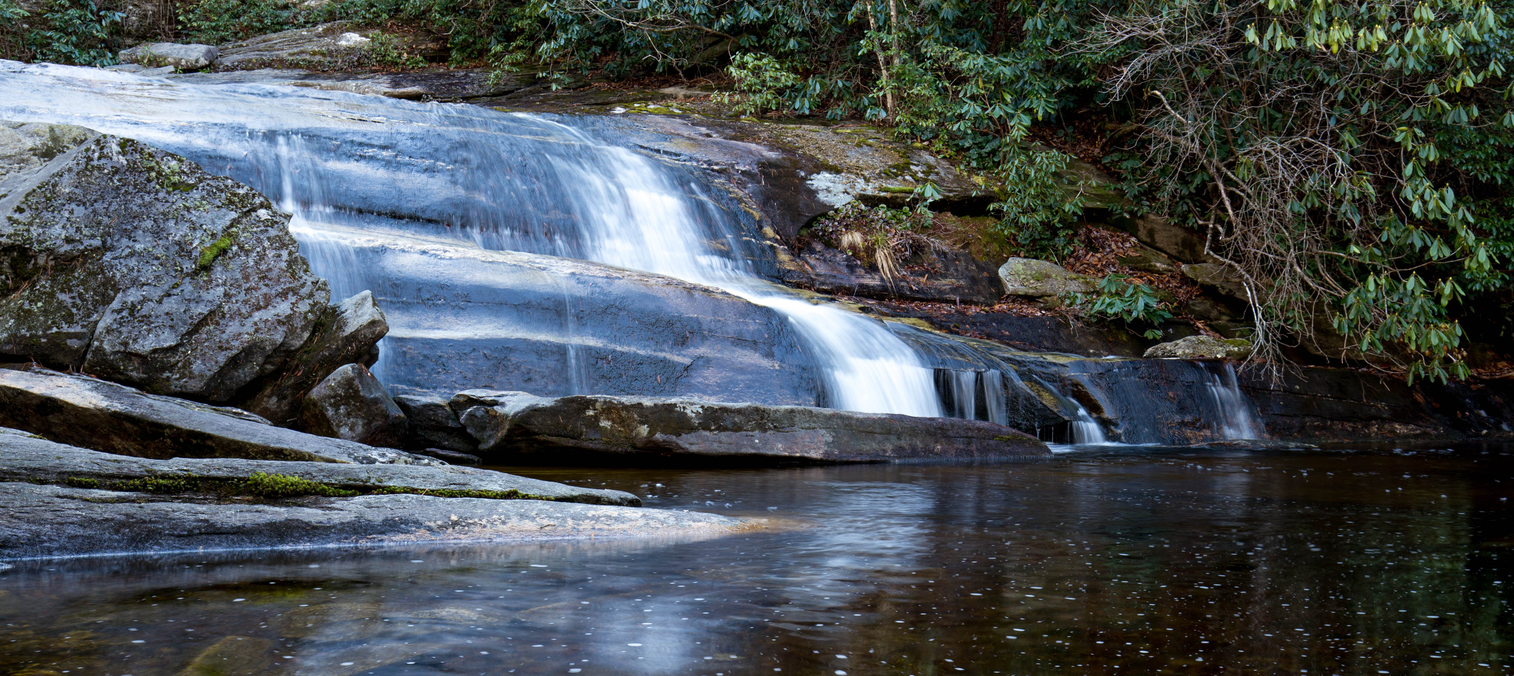
The hike from campsite 13 to Twentymile was almost all downhill. We made it back to the cars quicker than I expected. The weather cleared up by the time we reached the valley. There were a few creek crossings – all of which had a small log bridge so we could keep our shoes on.

Raven Rock Falls

Raven Rock Falls is a short easy hike in Lake Toxaway, NC. The trail to the waterfall is an out and back totaling ~.5 miles. The hardest part is locating the trailhead (exact coordinates: 35.1594, -82.9801). Once on the trail, you will cross over a few small creeks before descending to the base of Raven Rock Falls.

Check out my write up on the The Outbound for more details.

Panther Creek, Cohutta Wilderness

An old kayak friend Frank and I decided to hike the Panther Creek trail in the Cohutta wilderness two weeks ago (not to be confused with the Panther Creek near Tallulah Gorge). We made it to Panther Creek falls – it was very steep and rocky. We saw a potential campsite under a rock wall, but decided we had enough energy to keep going and explore what was further down the trail. We ended up camping at the confluence of the Conasauga River and Panther Creek. The Conasauga River was pretty neat – I would love to go back and hike the trail along the river in the summer.

IMG_2135.jpg
Panther Creek Falls


img_2139

img_2145-hdr