Bella and I drove up to Calderwood Lake, TN last weekend for a kayak camp adventure. I have seen a few references to the lake side campsites online, but never found a lot of details. Since the weather was great, we figured it was a good weekend to finally check it out. We parked and put our kayak in the water at Magazine Branch Boat Ramp. The parking lot had a sign which showed the campsites so I snapped a quick photo before hopping on the water.

The water was incredibly clear – it was so pretty!


Our first stop was Slickrock Creek (about ~1.1 miles from put in) – where campsite number 1 is located. We paddled up the little cove where the water spills in and found another family already camping there.


I noticed a few random bird houses along trees as we paddled along the lake and this pretty tree.

Around mile ~2.4, we came across campsite number 2. It looked like it would be hard to pull the kayak out of the water, but didn’t look impossible.

At mile ~2.8, we came across campsite 3. Like the previous campsite, it didn’t look like it would be very easy to get the boat out of the water.

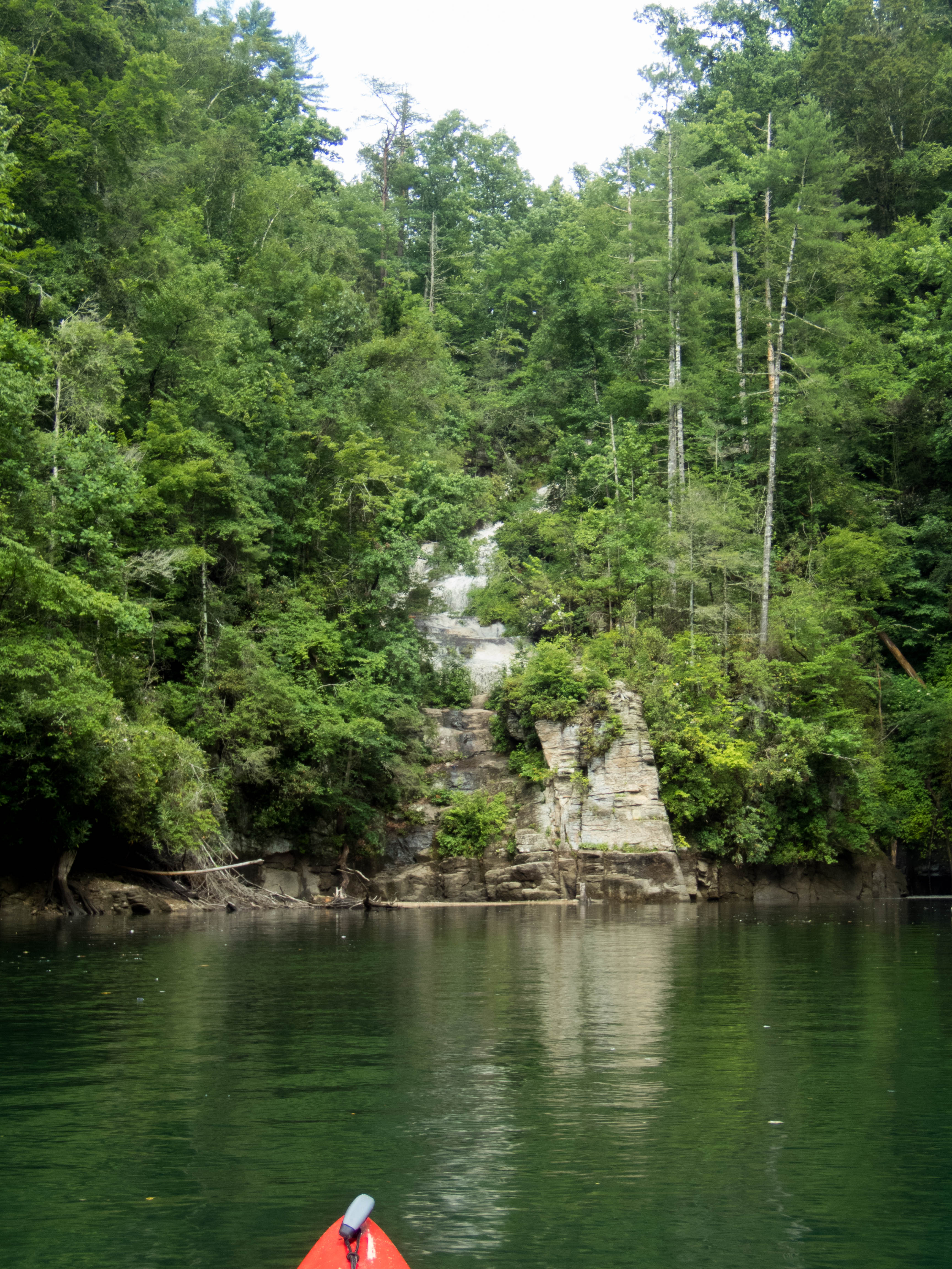
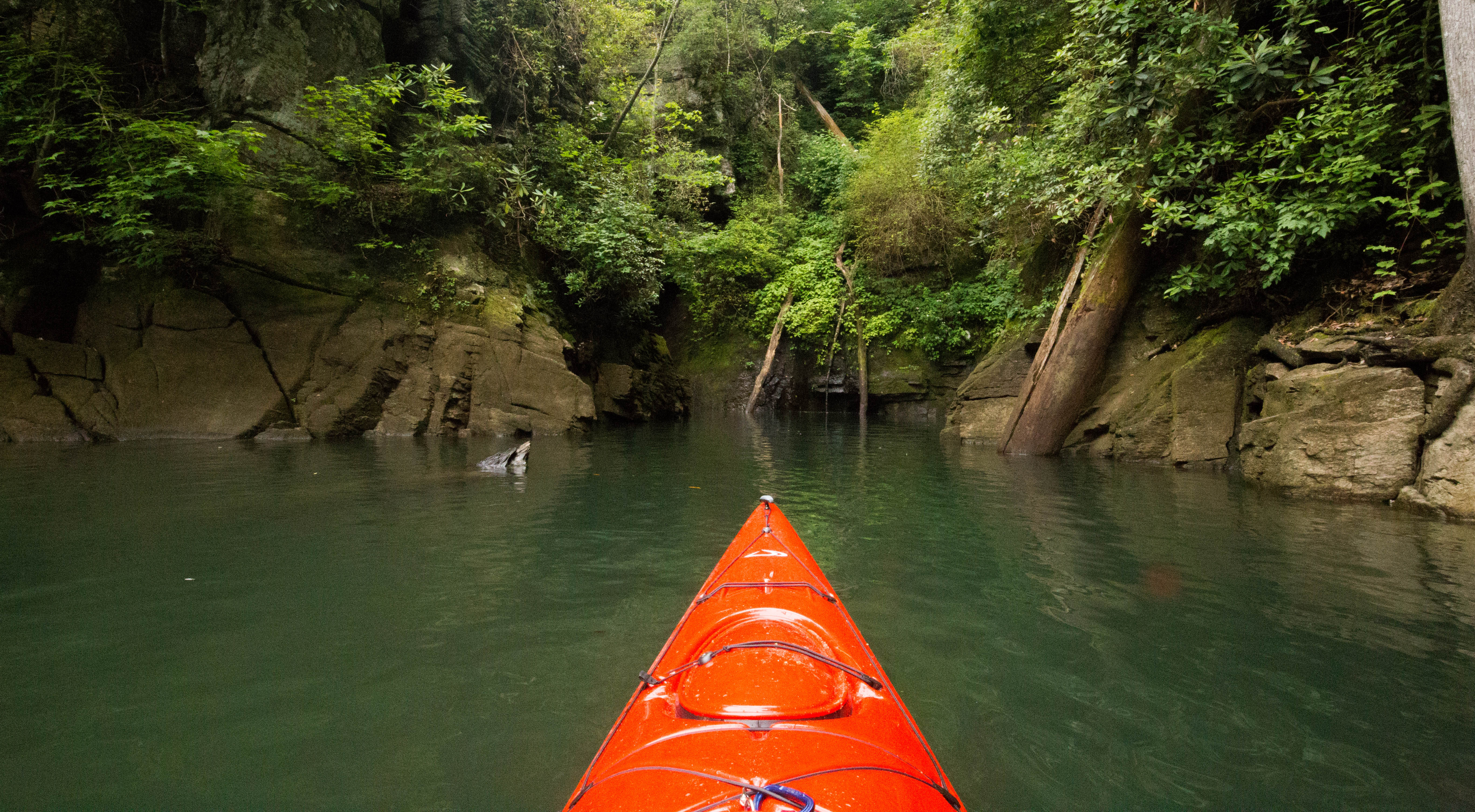
The old tunnel is located across from campsite 3. We paddled over to check it out. The water was too high to paddle all of the way through, but we could see some light coming through.

Since campsite 2 and 3 looked a bit difficult, we decided to keep going to campsite 4 which is located around mile 3.9. It is located up a cove where a creek dumps into the lake. I imagine it was probably a cool site, but there were a lot of trees down across the cove that we couldn’t get pass due to the water level.
We started to paddle to campsite 5, but the headwind was very strong and decided it would be better to head back to campsite 3 so the next day we would have a short paddle out.
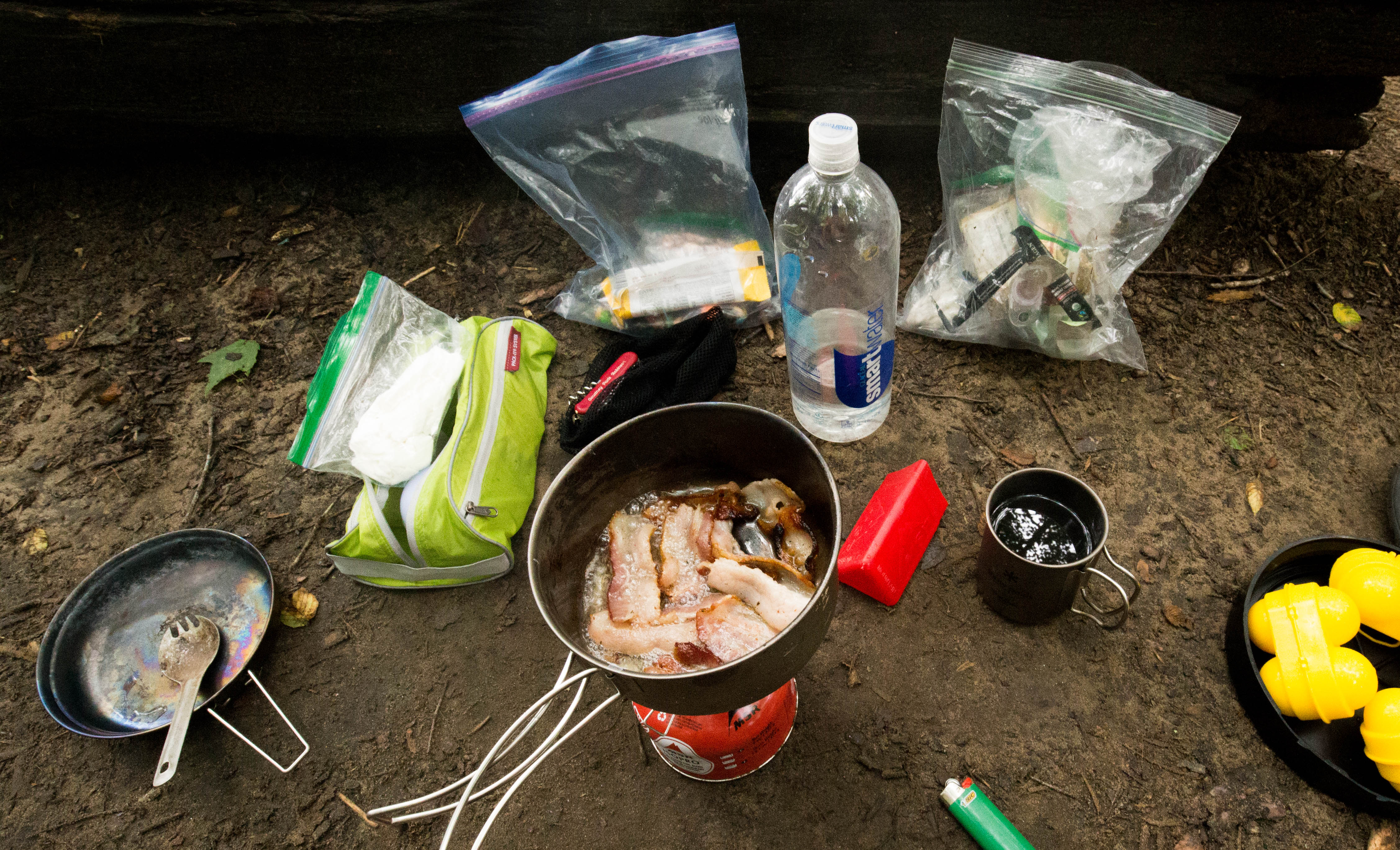
Getting the boat out of the water and gear up the hill at campsite 3 wasn’t as bad as I thought it would be. I think the water level dropped some while we were paddling making it a bit easier to climb onto the rocks. We enjoyed margaritas, some delicious steaks, and mashed potatoes for dinner. I debated making a campfire, but I knew we weren’t going to stay up late (Bella even took a nap) and it was already so hot out!


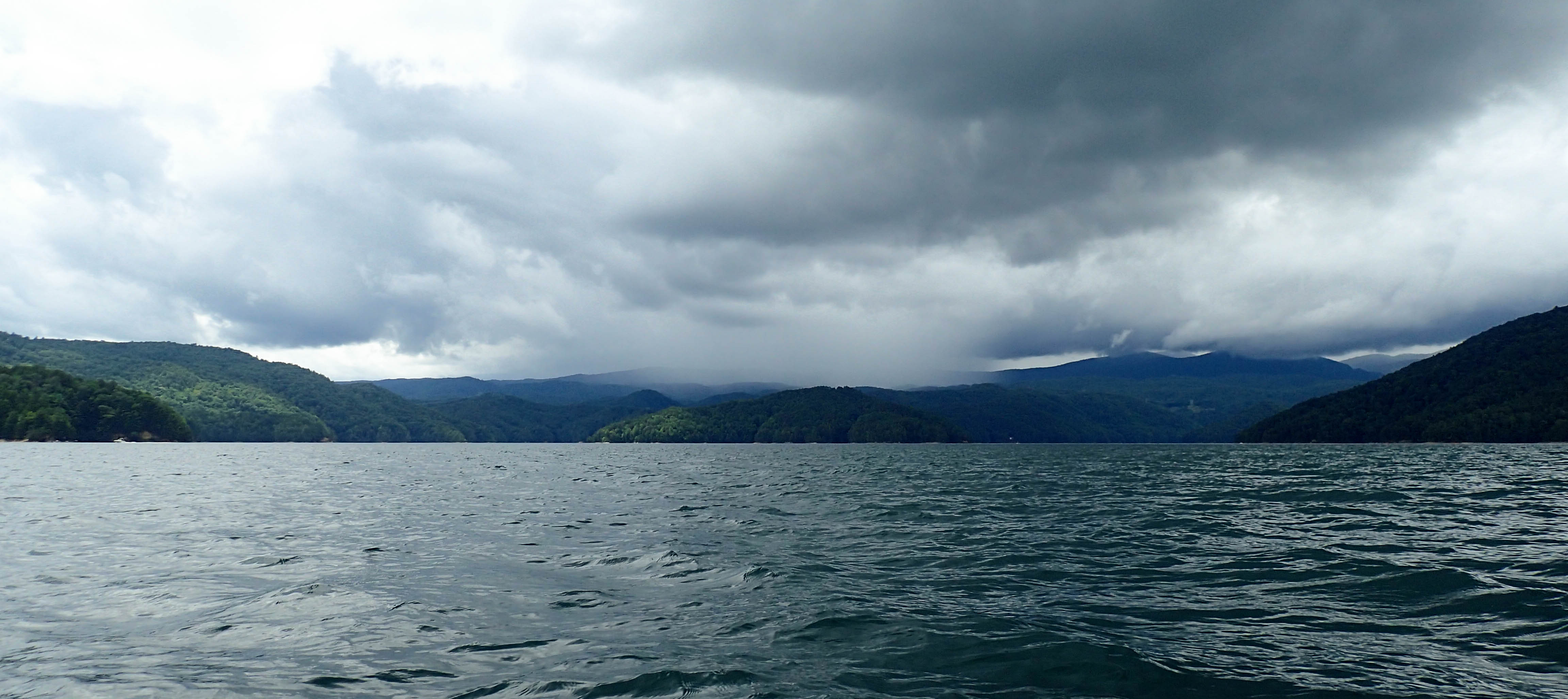
The next morning was a quick paddle out (2.8ish miles). It started off sunny, but clouded up a bit.


 We found ourselves a small beach cove named “Happy Cove”. We puled our boats up on shore and hid under a bank while the rain passed.