Bella and I spent an afternoon hiking around Gorges State Park. As always, it was very crowded, but we managed to grab a couple of photos without people.

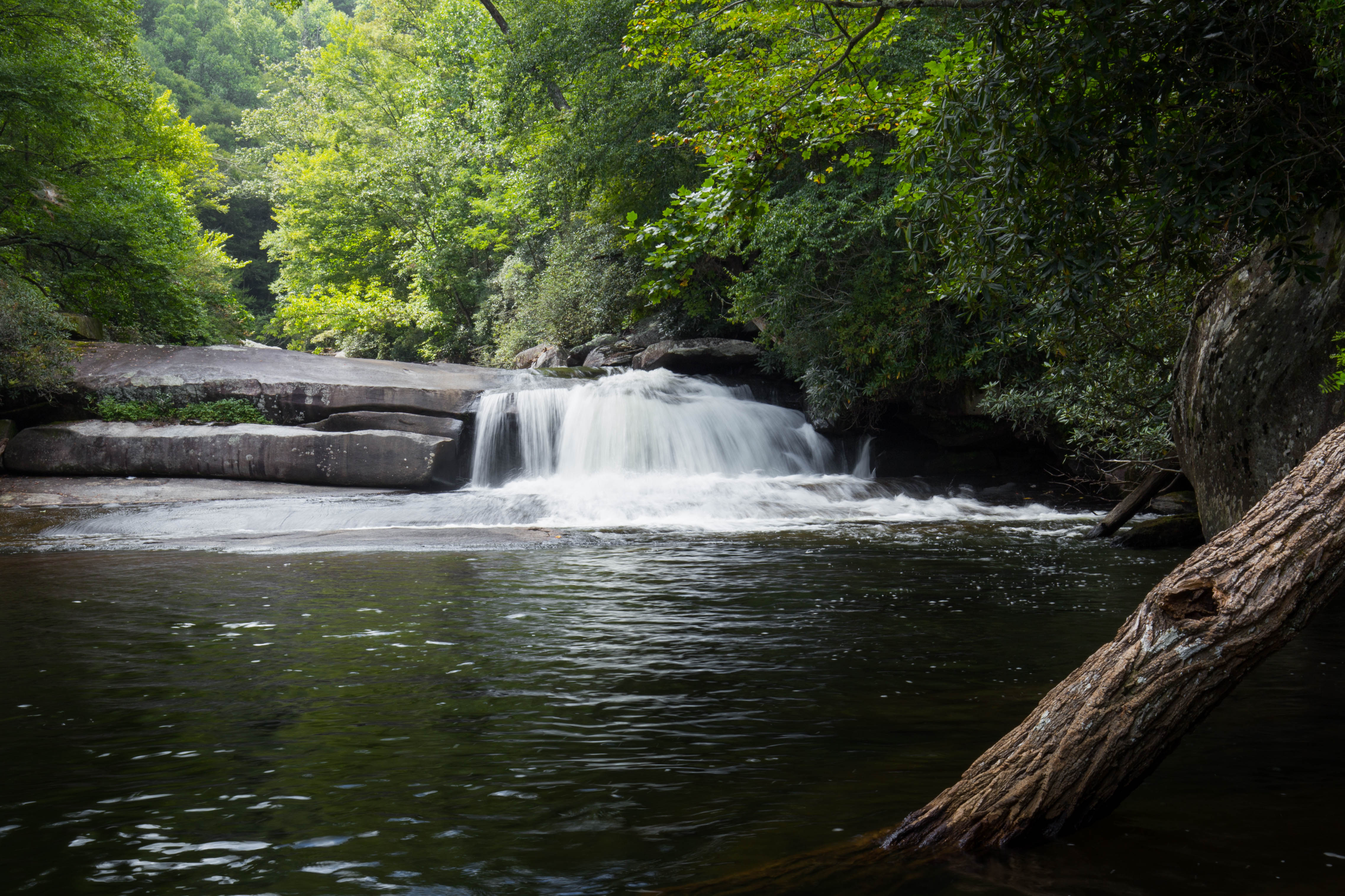
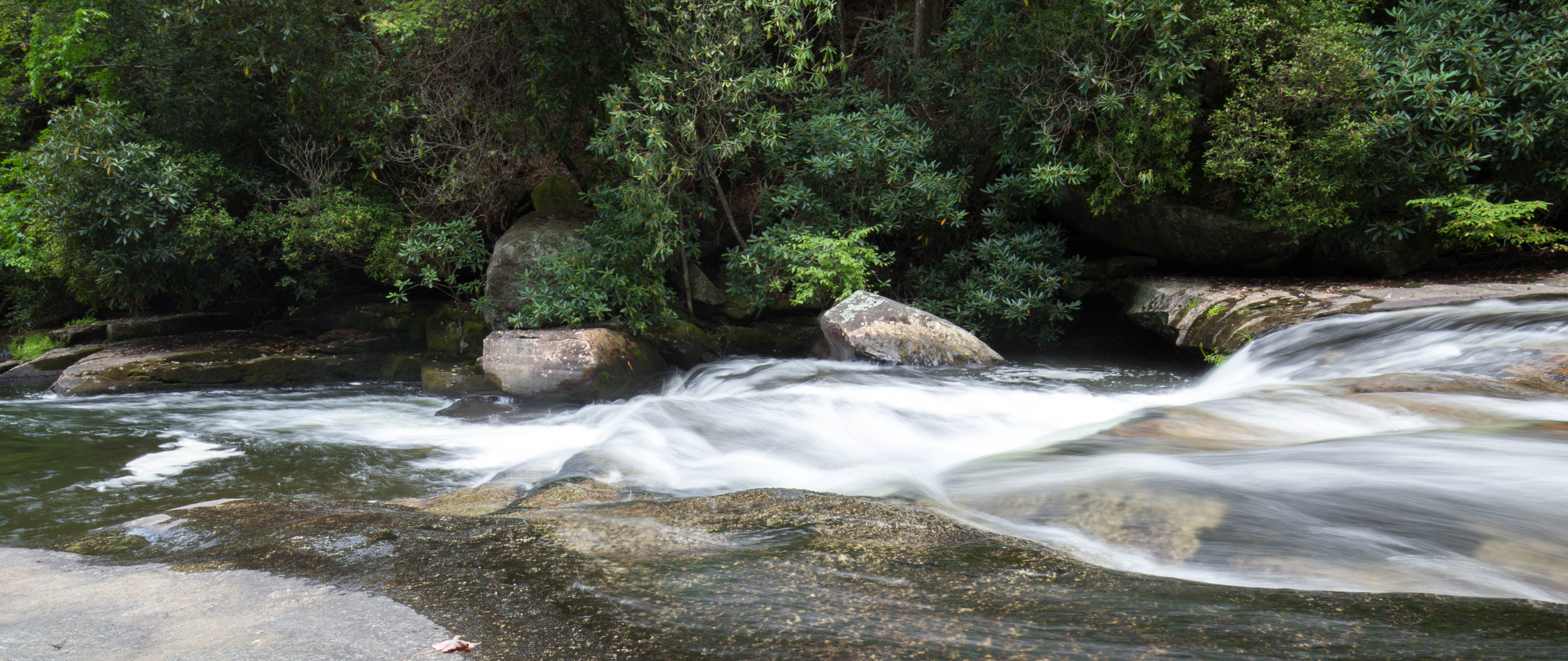
Bella and I spent an afternoon hiking around Gorges State Park. As always, it was very crowded, but we managed to grab a couple of photos without people.
Bella and I hiked to Lower Whitewater Falls yesterday afternoon. The trail starts off on Duke Energy land at the Bad Creek parking lot. You follow the Foothills trail to start, then follow a gravel road for a bit, and finally end on an old logging road which leads down to the overlook. It took us about 2-3 hours to complete. I believe the entire is trip is about 4 miles (~2 miles each way).

Daniel and I went kayak camping on Lake Jocassee a few weekends ago. We started our journey off at Devils Fork State Park.


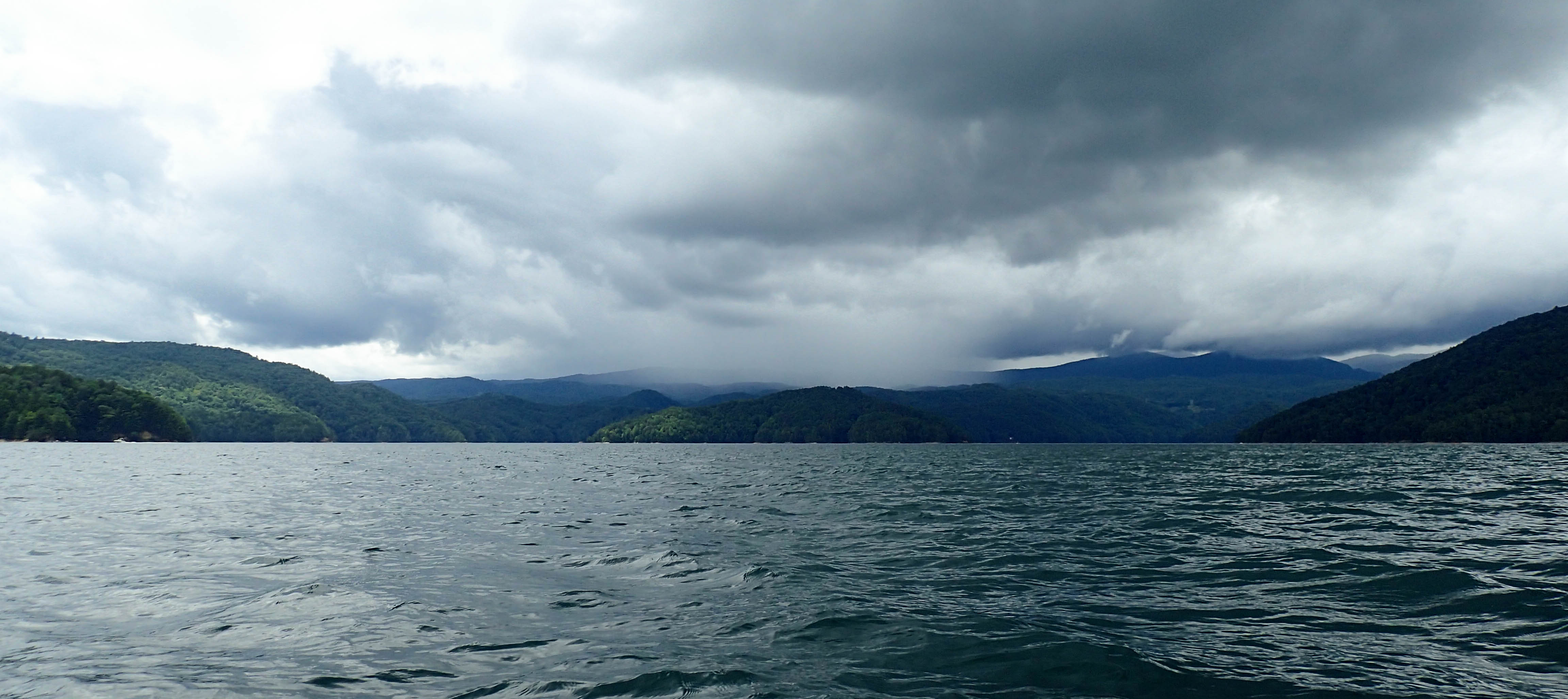
We paddled about 10 minutes and then noticed a bunch of clouds and rain coming in over the mountains to our left. We immediately picked up the pace and headed for the closest section of shore we could find.
 We found ourselves a small beach cove named “Happy Cove”. We puled our boats up on shore and hid under a bank while the rain passed.


After the rain passed, we jumped in our boats and began paddling again.


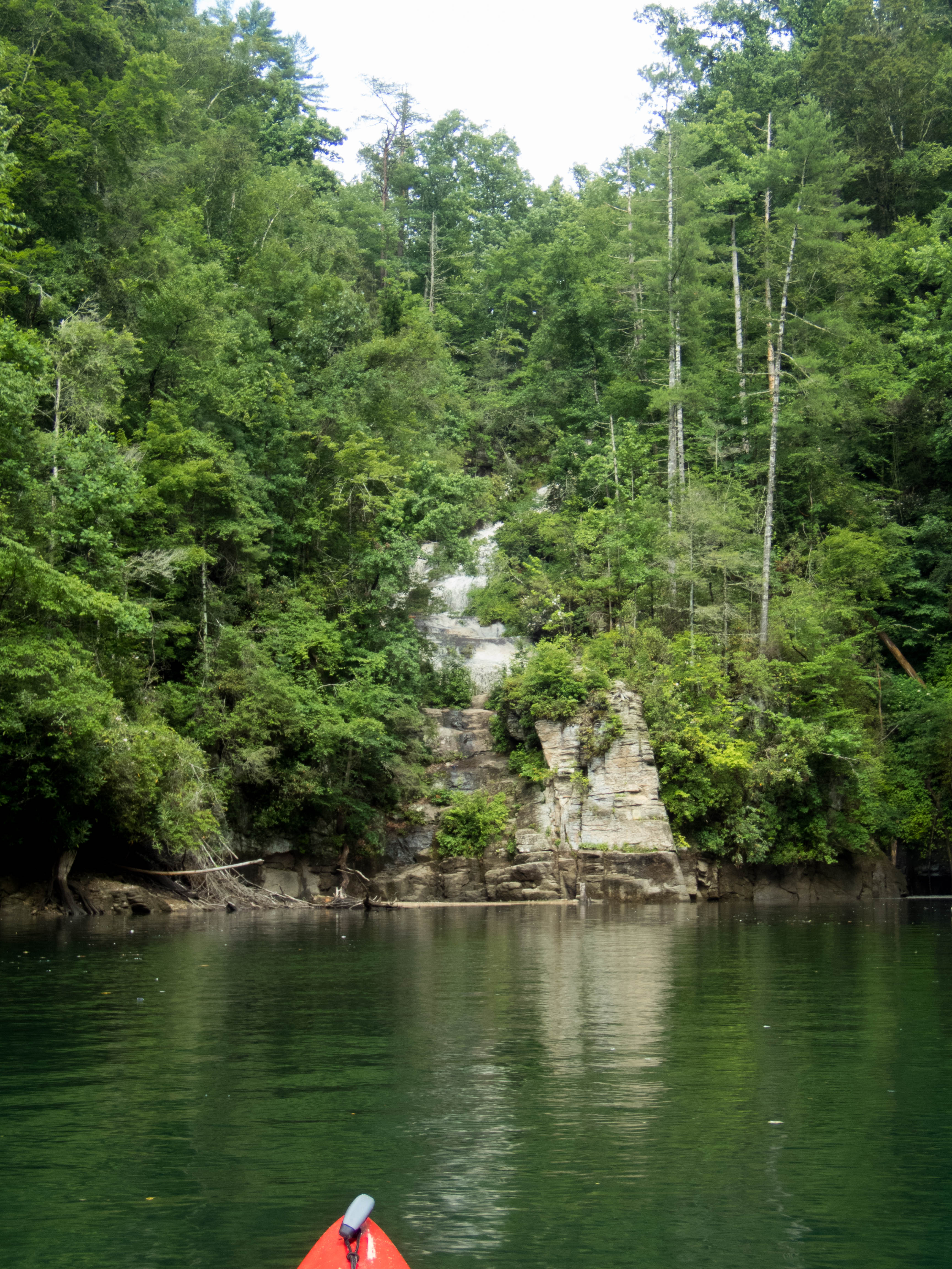
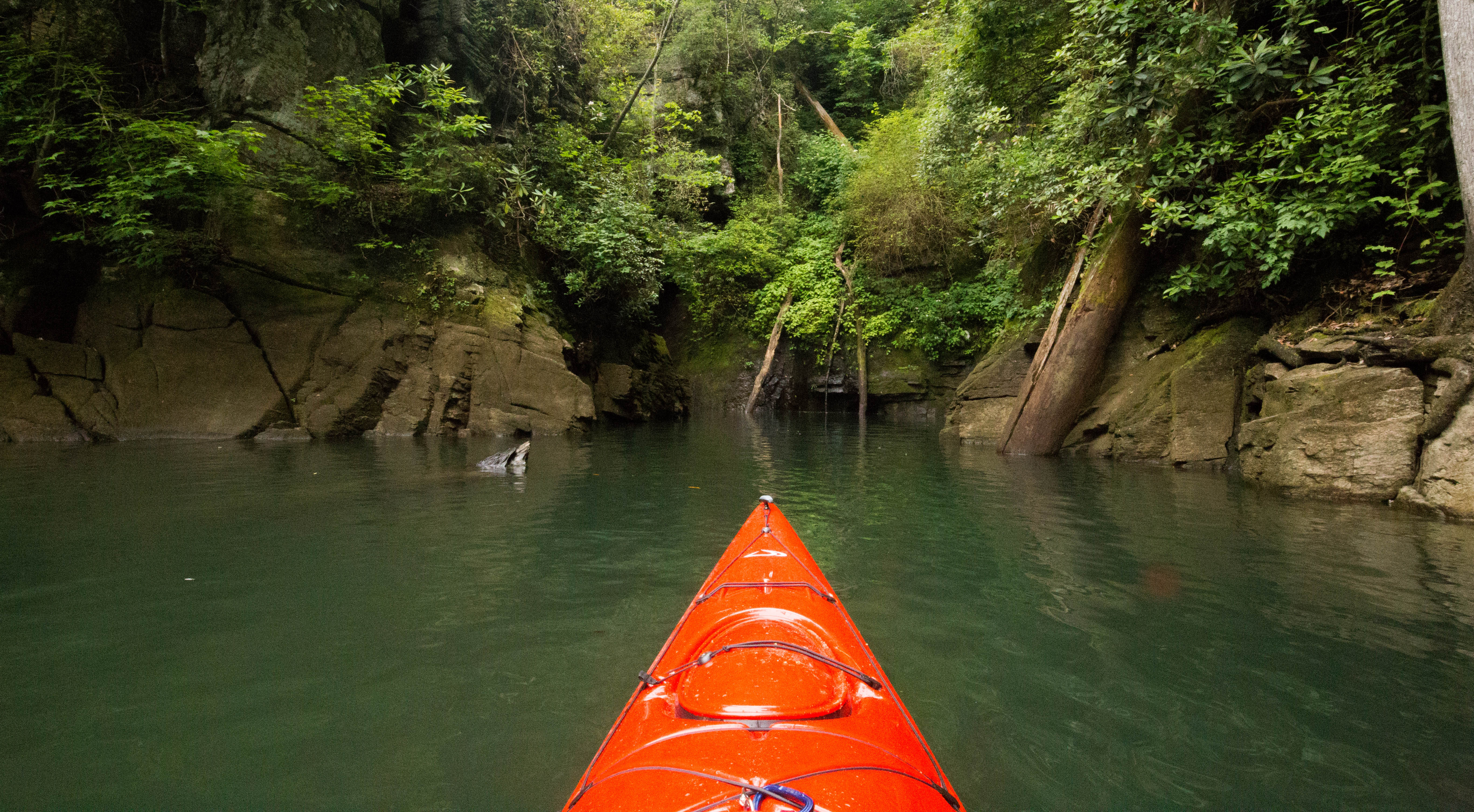
After 6 miles of paddling, we came across a small waterfall. When we heard the noise of the falls, we thought we had arrived at Laurel Fork, but once seeing the falls, knew we had a bit further to go.


We paddling a little bit further and caught our first glimpse of Laurel Fork.
We parked our boats at the bottom and climbed up the rocks to check out the falls. We had to cross a bit of mud, but we made it across. There was a lot of water flowing over the falls due to the recent rain.


We decided it was so difficult to try and carry our bags up the rock face to the campsite on the map so we back paddled a few minutes to the Laurel Fork Boat Ramp. We packed our stuff into our bags and hiked the .5 miles to the campsite. We stopped and checked out a few campsites, but we finally found the perfect spot – at the very top of Laurel Fork Falls.

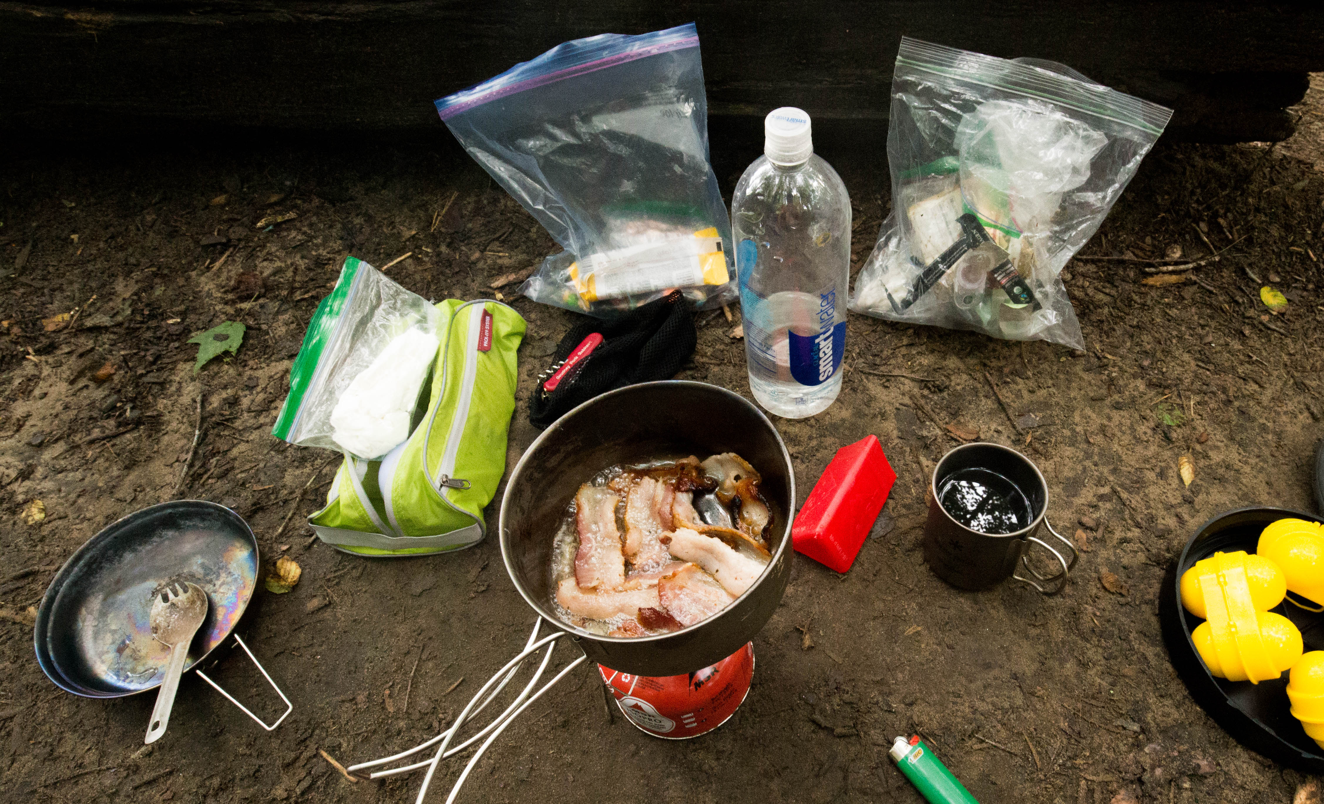
The next morning we started our morning out with a filling breakfast of eggs and bacon.
We then hiked to Virginia Hawkins Falls. It is a pretty waterfall about 2 miles from our campsite.


After visiting Virginia Hawkins, we grabbed our stuff from our campsite and headed back to our boats. We packed our stuff up and checked out the falls once more.

A friend and I camped in Pisgah a few weekends back. It was dark when we arrived. We spent Friday night at the top of Sam’s Knob. It was dark when we arrived, but the view in the morning was gorgeous! So many flowers blooming!
Saturday morning we hiked back to the car to stock up on water and food for the day. From the car, we hopped on the Art Loeb trail and hiked to Shining Rock.
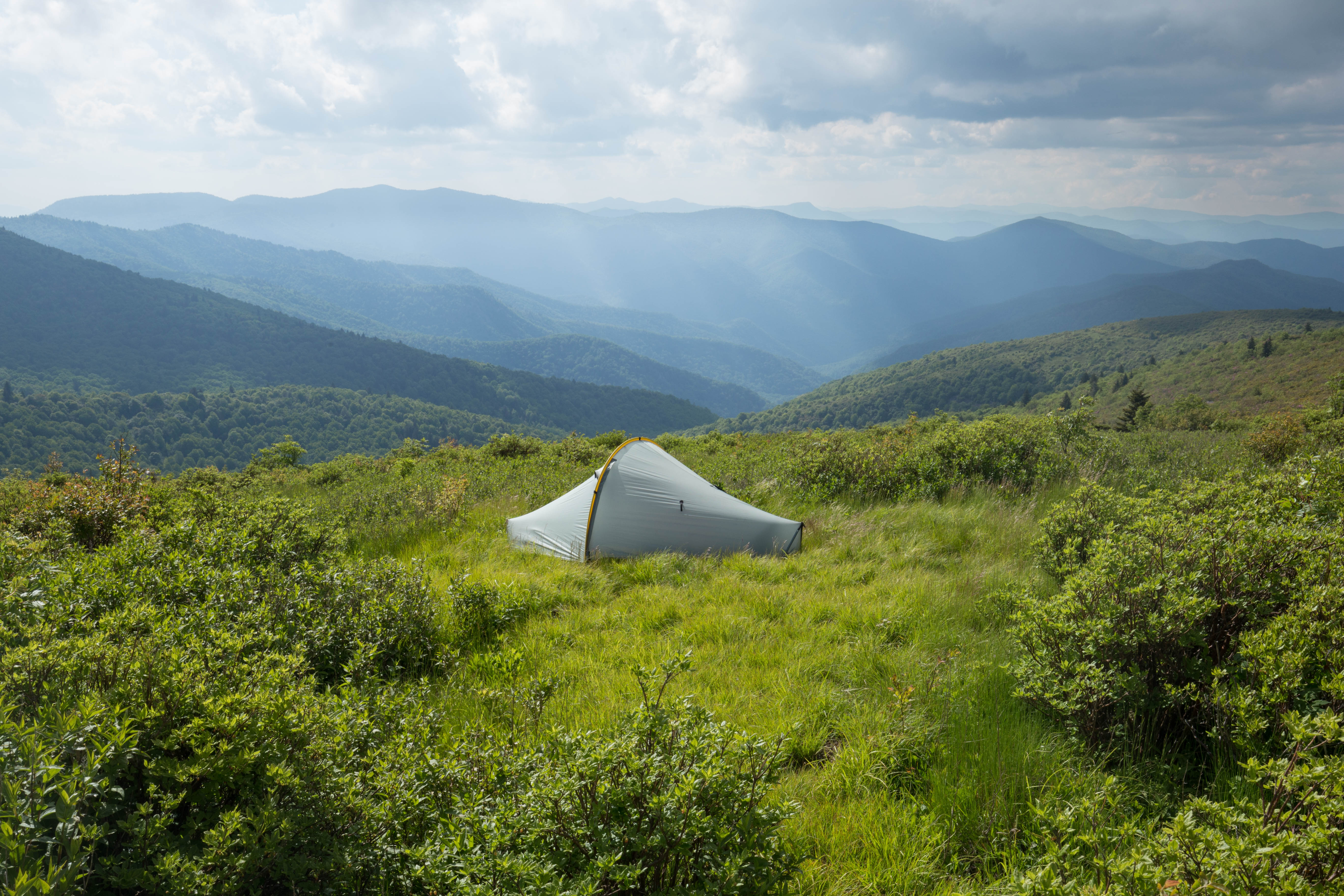
From Shining Rock, we hiked a few miles towards Cold Mountain before turning back. We setup camp for the night on top of Black Balsam.
I was hoping for a cool sunset, but a bunch of clouds started moving in around dinner time. I started to get worried it was going to rain, but it passed over.
Although the evening was uneventful, the morning sunrise was quite the opposite!


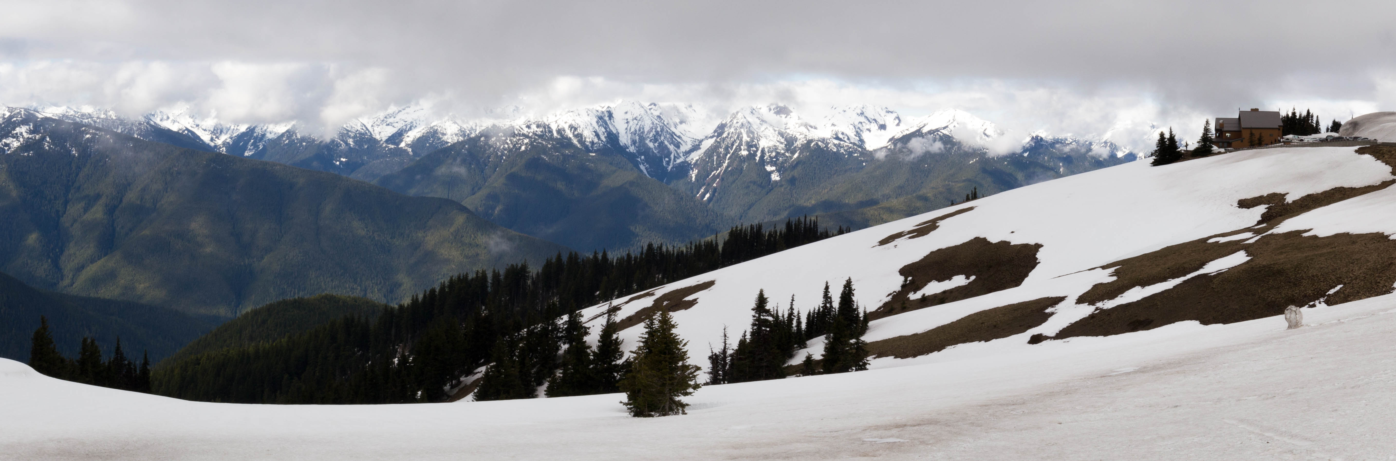
We drove up Hurricane Ridge before heading back to Seattle. There was a lot of cloud coverage, but we got to see a few glimpses of the mountains.
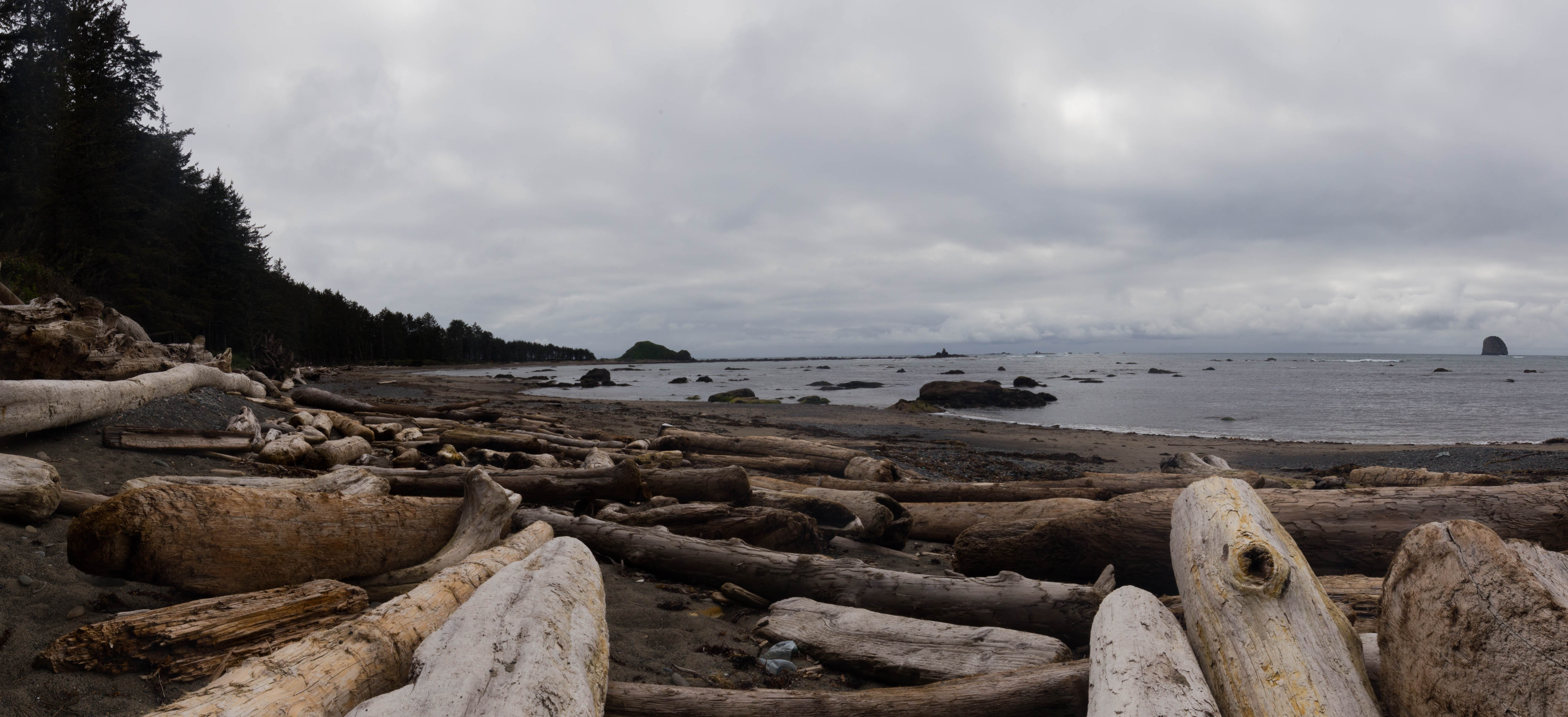
We made a quick stop at Ruby beach on the way to Sol Ducky Falls after hiking out from Pony Bridge. They say Ruby beach is one of the most photographed beaches. It was cool, but not nearly as cool as Cape Alava.

We setup camp at the Sol Duc Campground for our last night. This is a drive up campground that we reserved a few months in advance. I am glad we reserved in advance as there were no more sites left. After setting up camp, we hiked to Sol Duc Falls.
After finishing our hike, we headed back to our campsite. There was a creek not too far from our site so we carried our chairs and beers down there. I really wish we didn’t have to leave so soon! 
Day 4 started off cloudy and a bit drizzly. We packed up and hiked the 3 miles back to the Ozette Lake trailhead.
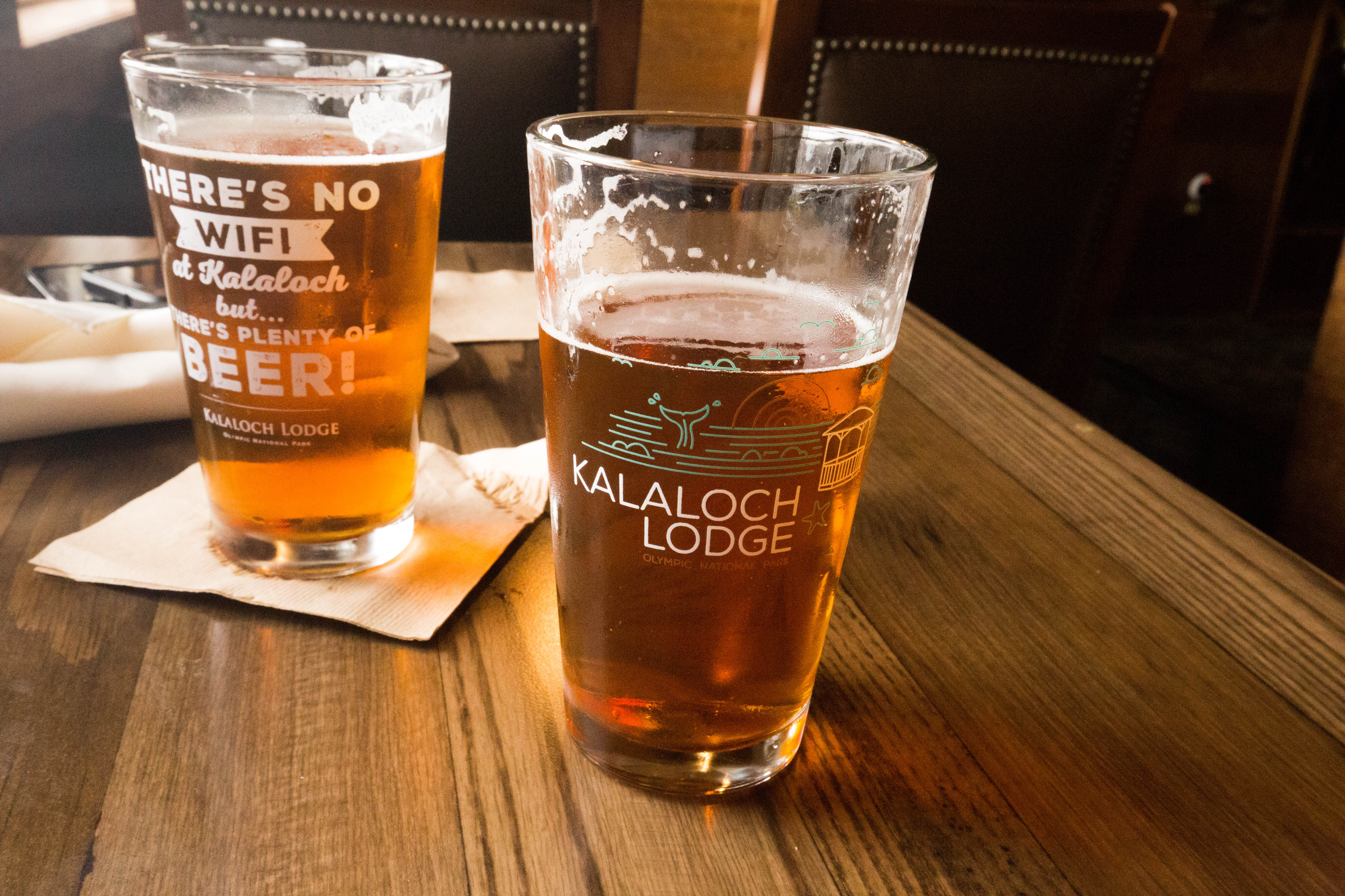
From there, we began the drive to Lake Quinault. We made a quick stop at the Kalaloch Lodge for lunch and beer.
We drove up to the Graves Creek trailhead – what a pretty drive! We saw numerous waterfalls and even a deer.
From the Graves Creek trailhead we started our hike to Pony Bridge.
We setup camp at Pony Bridge and then followed the creek upstream for a bit. The water was very pretty and blue! I wish we could have kept going and had a chance to check out the Enchanted Valley area.
We woke up at Cape Alava to find it very cloudy. Daniel woke up a bit later than me – I had already had breakfast and packed up most of my stuff. We decided to split up for a bit and meet up closer to Sand Point (~ 3 miles away).

I explored a bunch of the tidal pools. I wish I could have taken more photos, but the reflection from the water made it difficult. I saw a bunch of crabs exploring and lots of washed up rope/buoys.
I only made it about a mile and a half when Daniel caught up with me. We continued on to Sand Point where we began looking for a campsite. Most of the sites were covered with drift wood. We finally settled on one of the first ones we found… after an hour of exploring and trying to find the “best” one.
Like the day before, we left our stuff at the campsite site and continued exploring along the beach. We found a busted up kayak and part of a ship.
We made dinner on the beach – Annie’s White cCheddar Mac and Cheese with Honey Baked Ham – one of my favorites! There wasn’t much of a sunset with so many clouds, but we did get to watch some otters splash in the water. They were a bit too far away to capture with my camera.
We woke up the second morning at Lake Crescent to find it raining even harder then the day before. This made packing up our stuff not the most enjoyable experience. We crammed all of our wet gear into the car and headed for the coast.
We made a quick stop at Clallam Bay to stretch our legs, take some photos, and for Daniel to collect some rocks.

From there, we continued our drive onto Lake Ozette. The hike from the Ozette trailhead to Cape Alava was about 3 miles and consisted of a ton of board walks. It was very different from our experience at Lake Crescent! What was really interesting is the number of small creeks we passed along the boardwalk, and how brown the water was. The park ranger warned us in advance that the water would be very dark brown due to the trees, but still safe to drink if filtered.
After 3 miles, we finally caught a glimpse of the ocean! We wanted to explore some more since it was still early afternoon so we found a good campsite and dropped our stuff.
After setting up camp, we grabbed the essentials and headed north along the beach. We only went a mile or two before we had to turn back because of the incoming tide.
Once back at camp, I went ahead and pulled out my food for dinner and set it on a log. This was a major newbie mistake and I should have known better… while we were drinking our wine (hey, it was only a 3 mile hike!), a crow swooped in and stole my food! Luckily I had packed extra so it wasn’t a huge ordeal… I won’t make that mistake again! After dinner, we hung out by our campfire and watched the sunset. What a gorgeous view!
We woke up at Lake Crescent to find it still drizzling… we would find this to be the the theme most of our trip. After a delicious breakfast of eggs and bacon, we headed over to the rangers station off of Hurricane Ridge to get permits for the week. We had originally planned to go back to Lake Crescent and go kayaking, but due to the weather, decided to opt for a hike instead.
We drove up the road along the Elwha River. We stopped to check out the remnants of the old dam and a few creeks along the road.
We continued up Whiskey Bend Road to the trailhead for Goblin Gates.
The hike to Goblin Gates was fairly easy. We ate lunch on a rock which hung out over the water.

After lunch, we decided to head up the river a bit more and then cut back to the main trail.

On the drive back to Lake Crescent, we we stopped to check out Madison and Marymere Falls.